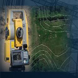

Rancon Projects Pvt Ltd Company is leading Services, Provider, Services Provider, Consultant, Consultancy of Land Topographic Survey.A land topographic survey is used to collect spatial data on a location and its natural and man-made land characteristics. The Land Topographic Survey is surveyed by point and is sometimes linked to the national Ordnance Survey grid and data (often using GPS). It is commonly acknowledged that points in a land topographic survey are positioned in three dimensions, allowing for ground modelling and visualisations to be produced from the survey. A Land Topographic Survey increases the assurance of any planned development by lowering the possibility of costly errors that could occur if the land is not well mapped.
A Land Topographic Survey can disclose information that may not be readily apparent at first glance, such as changes in land over time.Getting the right information early in the planning stage of a project - whether it's a Land Topographic Survey, Land Topographic Survey, or any other type of land survey – can save time and money. Because we only hire highly skilled topographic land surveyors, you can rest assured that you'll get the greatest possible fit for your property. We supply our superior quality products to our valuable clients in Mumbai, Navi Mumbai, Thane all over India.

© Rancon Projects Pvt Ltd. | Website Designed & Promoted By ITology